
A high-tech geo-mapping tool and emergency hub is being used to assist NSW Government responses to emergencies like bush fires, floods, earthquakes, utility failures, cyber-attacks, and major incidents.
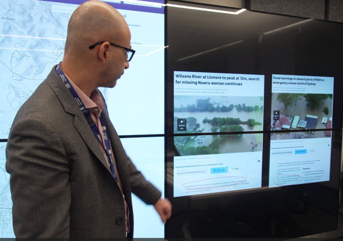
Developed by Transport for NSW, the geospatial tool layers around 200 live and 300 static data sources onto a map to generate a comprehensive, visual decision-making aid, providing Transport and response agencies with an instant snapshot of the scale of an incident in real time.
The TransportOne dashboard can zoom into a location and identify the number of transport assets like traffic lights, bridges, train stations and roads impacted by a disaster or disruption as well as other government assets such as utility hubs, schools or hospitals. The tool can also identify the real-time location of crews including Maritime vessels.
It then goes a step further, helping to predict and plan for future impacts on transport infrastructure by modelling the forecasts and warnings of partner agencies such as the Bureau of Meteorology, Rural Fire Service (RFS), and State Emergency Service (SES) onto the map.
The dashboard covers the whole of the state and can be instantly shared with internal Transport teams, combat agencies including the RFS, NSW Police, and State Emergency Service.
Having a comprehensive, shared, real-time understanding of emergencies helps Transport for NSW resources be positioned where they are needed most in a crisis, informs decisions about when and where to open support services, and determine how to re-establish transport links quicker.
Transport for NSW Secretary Josh Murray said: “We manage more than 28,000 public transport stops, train stations, wharves, and bridges, and around 700,000km of roads across New South Wales. Understanding which of these are impacted by an emergency or disruption helps us quickly access alternate transport options around the area and later re-establish crucial links faster.
“The mapping tool can use Bureau of Meteorology forecasts, information from the RFS, SES, plus Transport data to predict the potential impact of extreme weather systems before they hit.
“It's a fantastic use of innovation to help keep our people safe, our communities connected, and our supply chains open during emergency situations.”